- Community Spotlight, Success Stories, Uncategorized
- Satellite Science & Environmental Intelligence
Advancing Severe Weather Predictions with Artificial Intelligence
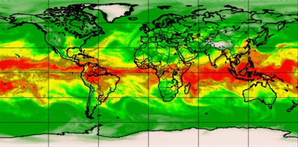
As artificial intelligence (AI) and machine learning (ML) technologies evolve in Earth sciences, CSS employee owners (formerly Riverside staff) are growing our expertise in this field. CSS employee owners are advancing technologies for our client, NOAA’s Center for Satellite Applications and Research (STAR). Our staff have developed a framework, exploiting modern AI/ML techniques, to rapidly evaluate the benefits and capabilities of Hyperspectral Microwave Sensors (HyMS) prototypes. HyMS are instruments that gather high spectral resolution data across a wide range of wavelengths within the microwave spectrum, enabling improved atmospheric temperature, moisture, cloud and precipitation sounding, nowcasting, and numerical weather prediction. CSS staff are currently doing assessments to determine the potential improvements that can be implemented into real-time monitoring of severe meteorological events, such as hurricanes, floods, and tornados.
These advancements will help forecasters better understand these events, where they are likely to occur, and be able to issue more advanced warnings to alert decision-makers and the public on preparations that can be made to help save property and lives.
Learn more about hyperspectral sensor technology and read the published journal article listed below.

See More CSS Insights
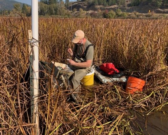
Installing Environmental Monitoring Stations
Our field crews installed/updated two environmental monitoring stations in remote locations in the Pacific Northwest. Multiple types of sensors were installed including air and soil temperature, precipitation, soil moisture and soil redox potential. These stations provide data for designing and evaluating soil remediation projects for U.S. Environmental Protection Agency’s Office of Research and Development. Installing…
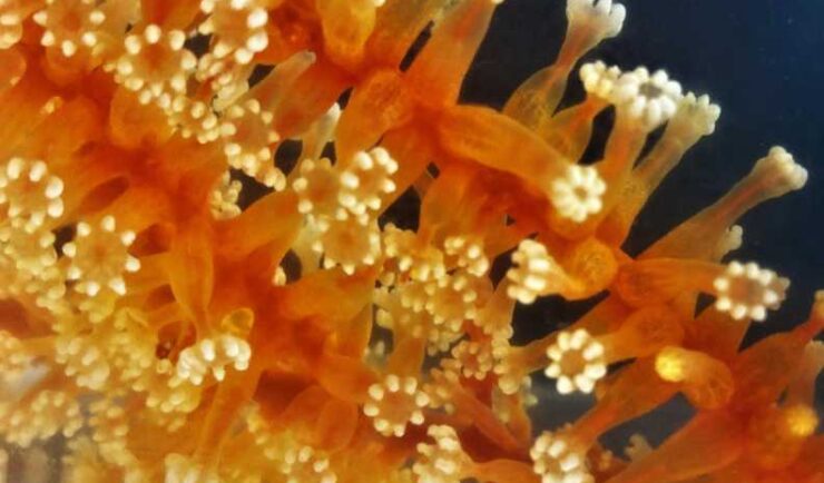
Collecting and Studying Deep-Sea Coral
Three of our staff supporting NOAA’s National Centers for Coastal Ocean Science joined a team of nine other scientists on a 12 day expedition to collect deep-sea coral samples in the Gulf of Mexico.
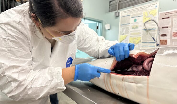
Assisting South Carolina Marine Mammal Stranding Network
CSS employee owner and Marine Mammal Microplastic Specialist supporting NOAA’s National Centers for Coastal Ocean Science assists the South Carolina Marine Mammal Stranding Network in responding to dead marine mammals when they strand on beaches or estuaries throughout South Carolina. This is work is critical for human and environmental health because it provides invaluable samples…